Cruising Sailors Forum Archive
Eastern Shore Boy,
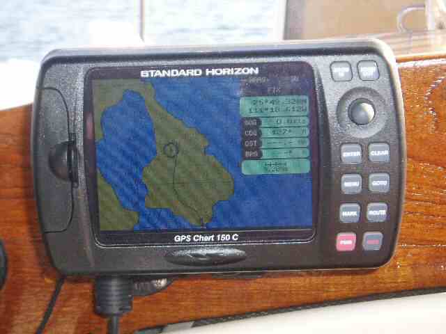
It's not the inaccuracies of the Mexican Charts, it's the inaccuracies of the US charts of the Mexican waters :D. And the digital charts most of us use are taken directly off of the US charts. At times I took sights and was off by more than 0.8 miles. We even got emails asking if we were OK because we were showing on our position reports that we were aground, Like Steve on Brendon said.
We helped with a May Day call a couple of years back with the boat reporting he was on the rocks (in the Sea of Cortez) with heavy weather.
I was in radio contact with Don Anderson (the MAJOR weather guy on this coast). He called the US coast guard, gave them the apx. Lat/Lon of the boat. The US Coast Guard had to call the Mexico Navy to convert our GPS Lat/Lon to Mexico charts so they could relay the position on US charts! A big “decoding” effort!
All went well, but it sure does say, use your GPS to get within a few miles of your target, then open your eyes!
Greg
Messages In This Thread
- Primitive navigation techniques being preserved (link) (pic)
- Taking a "moon sight"???? ;-) (nm)
- Noon Sights
- Local apparent noon (LAN) Noon Sight, Meridian Passage, (link)
- At my level of expertise, I wouldn't even consider a lunar sight. :-) (nm) (link)
- Steve - If you turn off the GPS ad use it on a passage, you will be surprised . . . (pic)
- Yes you can do a moon sight...references
- Are you familiar with Dr. David Lewis' "We The Navigators" . . . (pic)
- Cool, (link) (pic)
- Taking a "moon sight"???? ;-) (nm)