Cruising Sailors Forum Archive
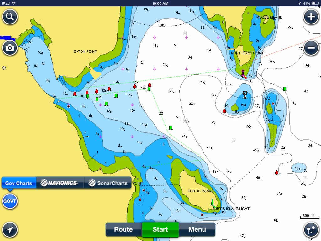
Cool! I just downloaded to my iphone and took a spin. Looks good. I downloaded the New England map area, no charge. That's nice.
I was thinking I would buy the Garmin app that I have on ipad for the phone, but I think I'd like to try some different sources for comparison. This looks like a good tool for back-up e-chart #3, and #4(my wifes iphone ![]() )
)
Navionics are Raster charts, Garmin Vector(I think). There is a difference, I see, so I'll be able to compare the two now.
Has easy route-distance-time functions, good info on weather, etc. No Active captain but it looks like more stuff is coming. Navionics plan is to entice buyers down the road.
Ben Ellison explains it all here. Thanks, Ben.
http://www.panbo.com/archives/2014/05/navionics_boating_app_now_with_free_us_charts.html
This is Camden Harbor. See that field of rocks on the right, in the entrance marked by a red nun and green can? A friend of mine ran through there with his motor boat years ago. Ripped the props off I think. That was before e-charts. I bet somebody does it again, soon, with echarts...
The friend doesn't drink anymore.

Messages In This Thread
- On Panbo, free Navionics echart app.
